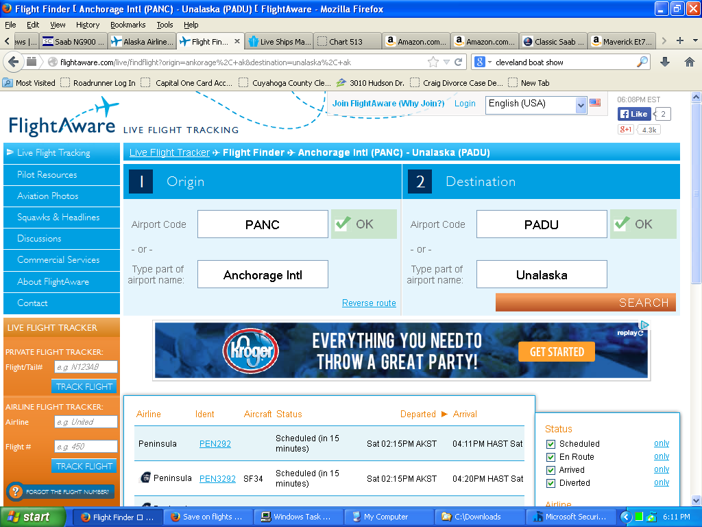
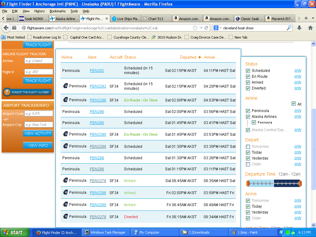
Red crab season is over and Blue crab season is starting shortly. I just thought that some of the members here might be interested in how the crabbers get 800 miles from Anchorage to Dutch Harbor, which is the small airport on the Unalaska Island.
They get there on Saab 34's of course!
Just check flightaware.com or checkout the captures for today below:
![]()
![]()
If you want to keep track of the fishing vessels (F/Vs) on the show, create an account on:
http://www.marinetraffic.com
All the vessels use the same AIS names in the show except the Northwestern which uses Norwestern for some unexplained reason.
NOAA charts can be viewed on the these links:
http://www.charts.noaa.gov/OnLineViewer/513.shtml
http://www.charts.noaa.gov/OnLineViewer/514.shtml
If you watch the show, you will see that when the ice drags the crab pots south, they drop from 150' to over 1500' in a matter of a mile or two. That's when they loose their pots and crabs.
A good friend's soon-to-be son-in-law is an engineer on one of the vessels, so I try to keep an eye on him and the vessel... Ron
They get there on Saab 34's of course!
Just check flightaware.com or checkout the captures for today below:
If you want to keep track of the fishing vessels (F/Vs) on the show, create an account on:
http://www.marinetraffic.com
All the vessels use the same AIS names in the show except the Northwestern which uses Norwestern for some unexplained reason.
NOAA charts can be viewed on the these links:
http://www.charts.noaa.gov/OnLineViewer/513.shtml
http://www.charts.noaa.gov/OnLineViewer/514.shtml
If you watch the show, you will see that when the ice drags the crab pots south, they drop from 150' to over 1500' in a matter of a mile or two. That's when they loose their pots and crabs.
A good friend's soon-to-be son-in-law is an engineer on one of the vessels, so I try to keep an eye on him and the vessel... Ron